Guam
Guam
Calm water behind Tumon's reef
Beyond the beach, CHamoru roots
Most mornings on Guam start at Tumon Bay. Swells from the open ocean break white at the edge of the reef, while the shallow water inside lies still as a lake. But leave remembering only the sea and you'll have missed a lot. A short drive south brings you, one after another, to the square where the Spanish governor's palace stood, to traces of the CHamoru people who built their homes on stone pillars, and to a memorial wall on a hill carved with the names of the war's victims. This guide sets out from the water at Tumon and follows the island's layered past to the capital, Hagåtña, and the villages of the southern coast.
Tumon Bay: the water inside the reef
Lined with hotels along its beach, Tumon Bay is the center of Guam's tourism. You can wade a long way out from the sand and the water stays shallow; the white line of breaking waves in the distance marks the edge of the reef. The bay is one of five marine preserves Guam designated in 1997 (full enforcement started in 2001). According to a Guam government report, reefs in the preserves hold more fish overall than reefs without fishing limits. Put on a mask and dip your face in, and you'll see fish moving between the coral. As the sun gets low, the sky slowly colors over the west-facing bay.
The legend of Two Lovers Point
At the north end of Tumon Bay, a cliff rises 370–400 feet (about 113–122 m) above the sea: Two Lovers Point. Its CHamoru name, Puntan Dos Amantes, means the same. The legend is set in the Spanish era. A young woman, born to a wealthy Spanish businessman and the daughter of a CHamoru chief, ran away when her father arranged her marriage to a Spanish captain. She later fell in love with a young man, but her father found her, and soldiers chased the couple to the edge of the cliff. There, the story goes, they tied their hair together and leapt into the sea. French explorer Louis de Freycinet recorded the legend when he stopped on Guam in 1819. Today, visitors leave padlocks on the heart lock wall beside the lovers' statue.
Hagåtña: a square from the Spanish era
A short drive south of Tumon is the capital, Hagåtña. The Hagåtña Heritage Walking Trail comes down the hill from Fort Santa Agueda, which looks out over the town, and passes through Plaza de España. During Spanish rule (1668–1898) the governor's palace stood on the plaza; most of it was destroyed by shelling during the retaking of Guam in World War II. What remains are limestone arches that once framed the entrance to the old Spanish storehouse (the almacen), the Chocolate House, where the governor's family took afternoon snacks and chocolate, and the Azotea, a terrace where they relaxed with guests. Next to the plaza, Dulce Nombre de Maria Cathedral-Basilica is said to stand where CHamorus, directed by Padre San Vitores, built the first wooden chapel in 1669–1670, and every December 8 a procession honors Santa Marian Kamalen, the island's patron saint. The eight latte in nearby Latte Stone Park are the stone pillars and capstones ancient CHamorus used to hold up their wood-and-thatch homes. The military moved them here from the Me'pu and Fena areas when it built bases there. Down by the water, Paseo de Susanna stands on rubble from the war.
The CHamoru fiesta table
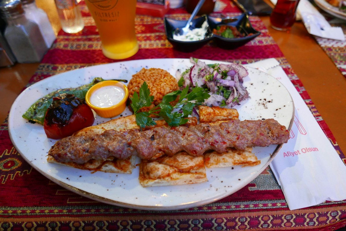
The CHamoru people have roots in the Mariana Islands going back at least 3,500 years. The island's flavors come together on a village fiesta table. Red rice goes down first, and it's rare for a table to be blessed and opened before the rice is in place. It's cooked in water steeped with achote seeds, which turns it orange. Beside it go kelaguen, dressed with lemon juice, and barbecue, and there's always fina'denne', a spicy sauce you spoon over food or use for dipping. The fiesta only ends with balutan, when hosts press food on departing guests to take home. The closest a visitor can get to that table is Chamorro Village in Hagåtña. When the Wednesday night market opens, barbecue smoke fills the lanes, and adults and kids dance together in the center court. Between the produce and craft stalls, there are even carabao (water buffalo) rides.
An island that remembers July 21, 1944
Guam's biggest holiday is Liberation Day, July 21. During the Japanese occupation, which lasted two and a half years from December 10, 1941, men were forced to build airstrips and defenses, and women and children were forced to farm food for the army. On July 21, 1944, US forces landed, starting a 21-day fight to retake the island, and every year on that day a big parade runs along Marine Corps Drive in Hagåtña. Asan Bay Overlook sits on a hill above those landing beaches. Its memorial wall carries the names of 1,170 Guam residents who died during the war and 14,721 who suffered atrocities during the occupation and battles, alongside the names of US servicemen who died. The area is part of War in the Pacific National Historical Park, managed by the US National Park Service.
The southern coast: a Magellan monument and old villages
Follow the coast road south from Hagåtña and the resorts give way to small villages and churches. At Umatac Bay in the southwest stands an obelisk marking Magellan's landing in 1521, though there are other theories about where he came ashore. A few Spanish-era forts and a battery remain in the village. Keep going east along the coast and you reach Inarajan. The Spanish founded it in 1680 together with St. Joseph Church and laid it out in the Spanish custom, with the church at its center. Old houses that mix Spanish-era and early-1900s American styles still stand around the village.
- Best season
- Dec–Jun (dry season)
- Recommended length
- 3–5 days
What to eat
- Red rice (orange-tinted with achote water)
- Chicken kelaguen (chicken tossed in lemon juice)
- CHamoru barbecue (Wednesday nights at Chamorro Village)
- Fina'denne' (spicy sauce for rice and meat)
Handy tips
- If you qualify for the Guam-CNMI visa waiver (South Korea and Japan included), get an approved G-CNMI ETA before you board; it covers stays of up to 45 days in Guam and the Northern Marianas. If you already have an ESTA (up to 90 days) or a US B1/B2 visa, you don't need one. Customs declarations are electronic only (Guam EDF): you can submit from 72 hours before arrival, and a family needs just one form.
- Driving a rental? Slow down in the rain. South Korea's foreign ministry notes that Guam's roads have coral mixed in, so they get slick and braking distances grow when wet. It also reports that break-ins, where parked cars' windows are smashed and belongings taken, are rising across the island, so leave nothing in the car.
- Three-quarters of the year's rain falls in the Jul–Nov wet season, and the island feels the effects of a typhoon about three times a year on average. If you're going then, book flights and rooms on terms that let you change dates.
Book
We are not party to bookings. Provider terms govern bookings/payments/refunds. We earn commission on our link bookings.