Mexico
Cancún
Caribbean blues that shift all day
Maya ruins and cenotes beyond it
Cancún’s sea changes color with the hour, from turquoise to cobalt. Twenty-two kilometers of white sand run beside it, and because the sand is fine-ground coral, it stays cool underfoot even at noon. Still, the sea isn’t the whole story. Maya ruins stand between the hotels, and a 20-minute boat ride brings you to an island you can circle in a golf cart. Go south into the Riviera Maya and water that ran underground surfaces in cenotes; drive 188 km west and the pyramid of Chichén Itzá is waiting.
The Hotel Zone: two kinds of sea
The Hotel Zone (Zona Hotelera) is a long strip along Bulevar Kukulcán, with the Caribbean on one side and Laguna Nichupté on the other. Locations here are given by kilometer on the boulevard: the Museo Maya de Cancún is at km 16.5, the El Rey ruins at km 18. Playa Tortugas and Playa Langosta face the bay and have calm water; Playa Delfines faces the open sea and gets waves. All the beaches are public, so you can swim in front of a hotel you’re not staying at.
Maya between the hotels
The first gallery of the Museo Maya de Cancún opens with the oldest burials found in submerged caves along the Quintana Roo coast. You enter the San Miguelito ruins through the museum, and the 210-peso foreign-visitor ticket covers both. The museum is closed Mondays. A little farther down the boulevard is El Rey. In 1909, English travelers found a carved human figure here that was read as a noble, and the site was named “the King” after it. The ruins face the lagoon and the sea, and there are iguanas all over them.
Isla Mujeres, 20 minutes by boat
Take a boat from Puerto Juárez, north of the city, and you’ll step off on Isla Mujeres about 20 minutes later. Boats also leave from the Playa Caracol and Playa Tortugas docks in the Hotel Zone, but the ride takes a bit longer. The island is 8 km end to end, so a rented golf cart gets you all the way around in half an hour. Playa Norte has fine sand and no waves, and the shallows let you wade a long way out. At the southern tip, Punta Sur, the remains of a temple to the goddess Ixchel stand on the cliffs above the sea. On the seabed between the island and Cancún sit the sculptures of MUSA, an underwater art museum you can explore by snorkel or scuba. May to September is the season for heading out to see whale sharks.
Cenotes and reef: Puerto Morelos
A cenote is a natural well where water running through limestone shows through a collapsed roof. In Puerto Morelos, a small town 20 minutes from the airport, the Ruta de los Cenotes heads inland past dozens of them, from open-sky pools to caverns. The reef 400 m offshore is part of the world’s second-largest reef system, and a national park protects this stretch. You go out to it in small groups with guides from the town. The old lighthouse on the beach, left leaning by Hurricane Beulah, has become the town’s symbol just as it stands.
Playa del Carmen and Tulum
About 45 minutes south of the airport on Federal Highway 307 is Playa del Carmen, a town that grew up around Quinta Avenida, a pedestrian street running parallel to the sea for kilometers. From the dock at its end, boats cross to Cozumel in about 45 minutes. Cozumel is the largest island in the Mexican Caribbean, with 40 dive sites around its shores. Farther south, the ruins of Tulum are a Maya city on a seaside cliff. A wall encloses it on the north, south and west, the east side faces the Caribbean, and El Castillo, the tallest structure, presides over the whole site. Aim for the 8 a.m. opening; last entry is at 3:30 p.m. Foreign visitors pay 265 pesos. Beneath the Tulum area lies one of the largest underground river networks on the planet, which is why cenotes like Dos Ojos and Gran Cenote cluster there.
Chichén Itzá: give it a full day
Chichén Itzá is 188 km from Cancún, in neighboring Yucatán state. You can drive, or ride the Tren Maya from Cancún Aeropuerto station through Valladolid to Chichén Itzá station. The Pyramid of Kukulcán (El Castillo) has 365 steps, counting the top platform. Around the spring and fall equinoxes, triangles of light and shadow line up along the staircase balustrade and run down to the carved serpent head at its base, so a feathered serpent seems to descend the pyramid. The largest ball court in Mesoamerica (Juego de Pelota) and the Sacred Cenote (Cenote Sagrado) are on the same site. You pay twice: 105 pesos to INAH, Mexico’s national institute of anthropology and history, plus a Yucatán state fee (592 pesos for foreign visitors) collected at the ticket office. It’s open 8 a.m. to 5 p.m., with last entry at 4 p.m.
The Yucatecan table
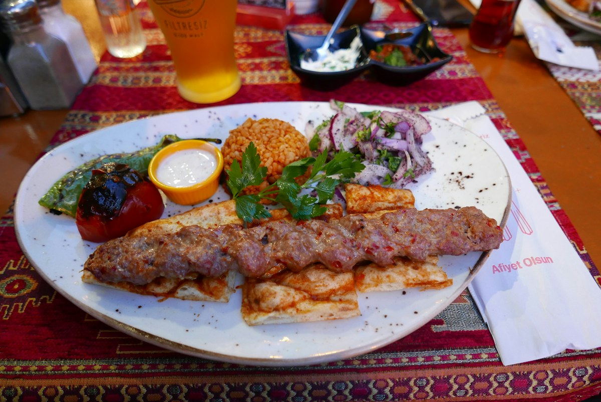
Cancún’s food has its roots in Yucatecan cooking, built on achiote, habanero chiles and the region’s citrus. Cochinita pibil, pork marinated red with achiote and cooked wrapped in banana leaves, goes onto tortillas with pickled red onion. Sopa de lima, a lime-scented chicken broth, sits light even on a hot day. Panuchos, fried tortillas stuffed with beans and topped with meat, make an easy light meal. This is the coast, so ceviche, fish or shrimp cured in lime juice, turns up often too.
- Best season
- Dec–Apr (dry season, outside hurricane season)
- Recommended length
- 5–7 days
What to eat
- Cochinita pibil (achiote-marinated pork)
- Sopa de lima (lime chicken soup)
- Panuchos (bean-stuffed fried tortillas)
- Ceviche (seafood cured in lime)
Handy tips
- South Korea’s foreign ministry places Quintana Roo, the state Cancún is in, at travel alert Level 2 (refrain from travel), as of October 2026.
- Quintana Roo charges every foreign tourist a visitor tax called Visitax. There’s no separate child rate, and if you pay on the official portal (visitax.gob.mx), you can download your QR receipt with your passport number.
- Agree on the fare before you get into a Cancún taxi. Buses run between the Hotel Zone and downtown, and buses from the airport leave often for both.
Book
We are not party to bookings. Provider terms govern bookings/payments/refunds. We earn commission on our link bookings.